

The most perfect 17-mile biking loop in Santa Clara
Route sap
The Santa Clara loop is basically just a combination of the San Tomas trail with the Guadalupe River trail. Here’s the map:
(Here’s a direct link to the map or the KML file so you can import it into Google Earth.)
Route length
The route is about 17.5 miles, which is a good length for a bike ride. If you add on some additional mileage to ride from your house to the loop, or if you take an additional leg up to Alviso park (for peaceful bayside views), it can bring that mileage up to 20 or more. Part of the reason I like this route so much is because of the length and the loop it provides (the loop means you don’t have to reverse course to get back to your starting point).
I’m not alone in thinking that about 20 miles is an ideal length for a ride. Ebin Weiss explains that 20 miles is long enough to be worthwhile but short enough to not consume the rest of your day. It’s a manageable length but still long enough to justify the effort to go on the ride. You can also go fast or slow depending on the workout intensity you want. Weiss writes,
More importantly, a 20-mile ride is elastic in that, despite being compact enough to integrate into your 17 waking hours, it gives you plenty to play with in terms of duration and intensity. Approach it in a casual fashion and it’s a leisurely two-hour spin—more than enough to clear your head. Attack it like a lioness tearing apart a zebra, and you can knock it out in a little over an hour, with your legs burning from start to finish. Either way, you can work a 20-mile ride into even the busiest schedule on a regular basis, and you’ll still have plenty of energy left to deal with the rest of your day. Twenty miles is long enough to justify putting on all that Lycra, yet it’s short enough to do in sneakers and shorts. Even if the weather sucks, you can still suck it up for 20 miles. There’s no need to stop during a 20-mile ride, but it’s also perfectly reasonable to sit down for a coffee at the turnaround point. And if you have the time and you’re so inclined, you can configure it into something pretty burly: do it all off-road, or stack it full of climbing, and you’ve got a ride much bigger than the sum of its miles. (Why 20 Miles Is the Perfect Length for a Bike Ride)
I can confirm that he’s right. The fastest I’ve done this route is 1 hour 10 minutes. Sometimes I’ll leave during the day and plan to return just before a meeting begins — this gets me moving quickly. But other times I’ll approach it more leisurely and spend a good 1 hour 40 minutes or more.
Starting point
As a loop, you can hook into this path almost anywhere. A most road crossings, there is an opportunity to get onto the path. And 75% of the route is on a multi-path trail; the other 25% is on a road with a comfortable bike lane. I bike directly from home to hook onto the Benton/San Tomas Expressway intersection, and then I go clockwise around the loop.
If you don’t live close enough to just hook onto the loop from your house, you could park at the San Tomas Aquino Trailhead at the intersection of Monroe and San Tomas Expressway. There’s parking there, and a little park as well. Lots of people park here who are using the trail.
The route
When you reach the top of San Tomas Aquino Creek trail, rather than turning west towards Baylands park, go east and jog up toward Alviso and then hook onto the Guadalupe River Trail. (BTW, to add on an extra mile, take a detail into Alviso Bay and look across the water. It’s an interesting, kind of mildly awesome view of the quiet Bay + salt flats and a post-industrial cannery city.)
After Alviso, take Guadalupe River Trail south, past the SJC airport, until you get to Hedding street (there’s an overpass &mash; no signs that actually say Hedding), and then go west along this city street again to connect back onto your starting point. This last segment on Hedding is on a road with a bike lane rather than following a trail, so admittedly this isn’t the most scenic part of the route, but it’s not bad. It’s the price you pay for the last 15 miles on trails. Also, near the end of the Guadalupe River Trail as you connect over to Hedding, you’ll pass a couple of homeless camps, so just be aware of that. You also briefly pass a water treatment plant.
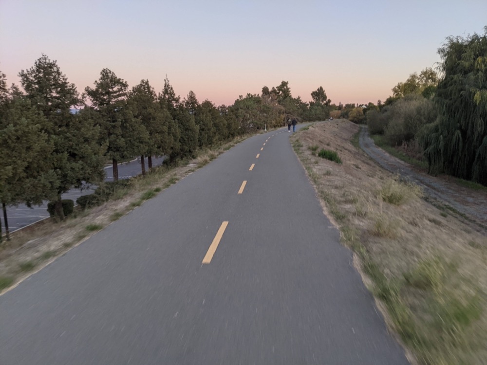
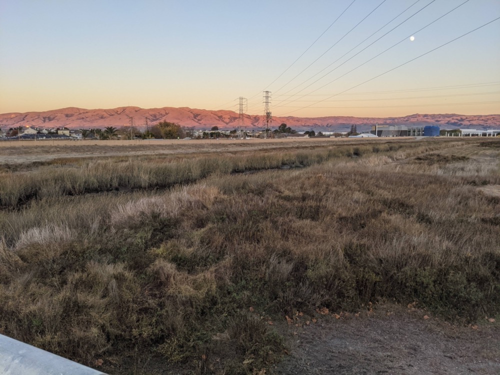
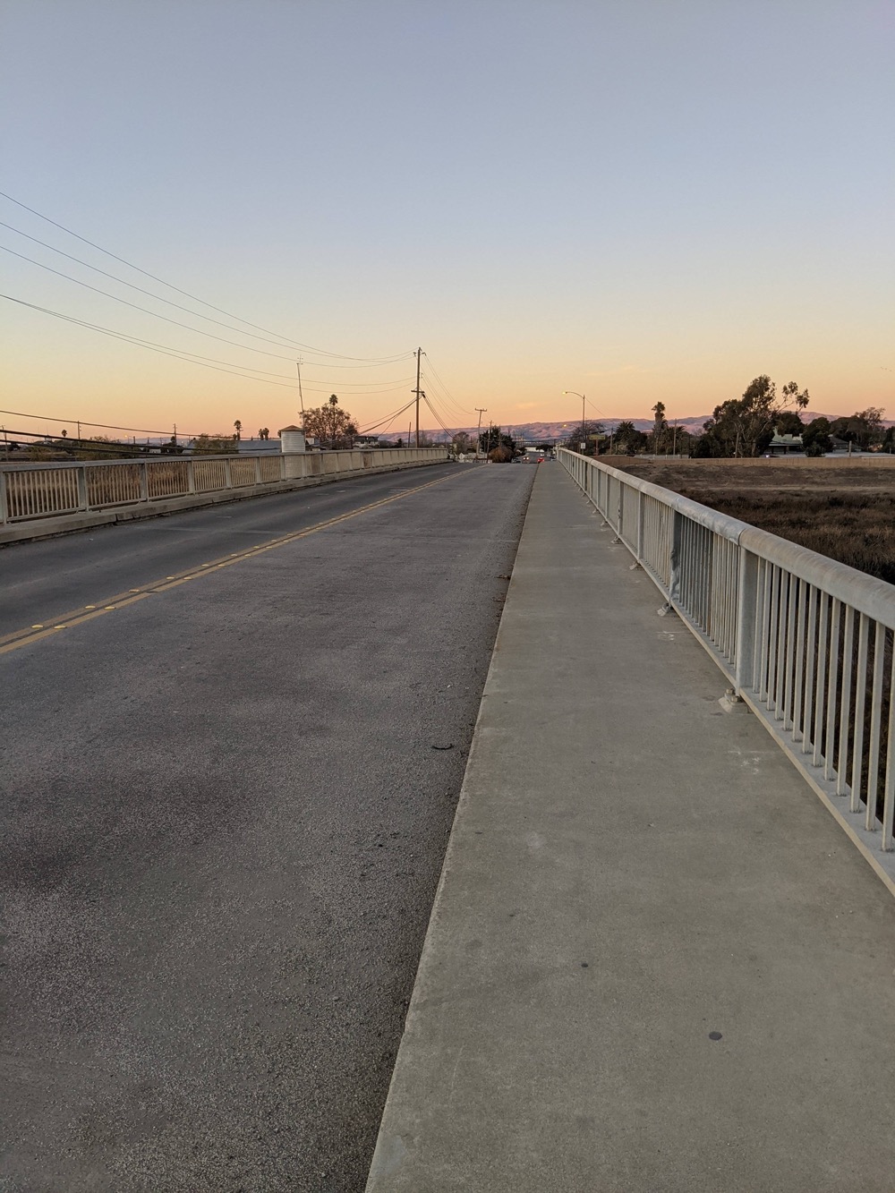
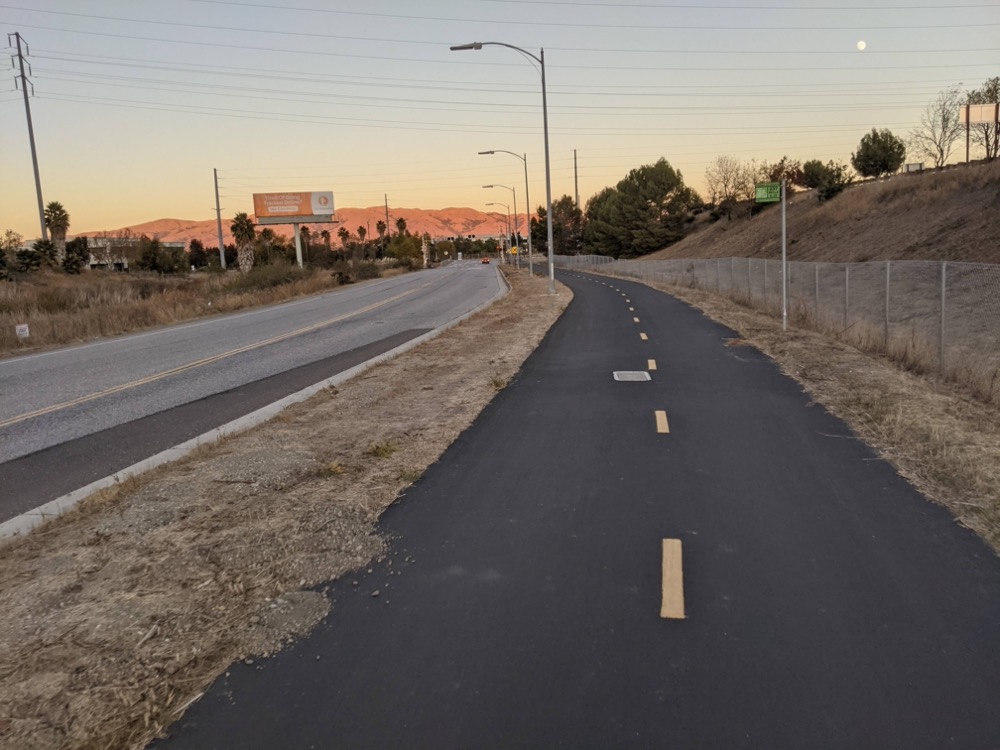
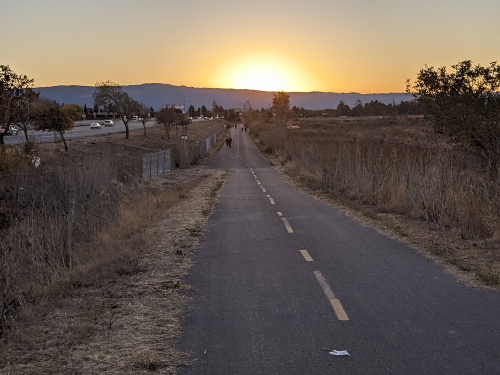
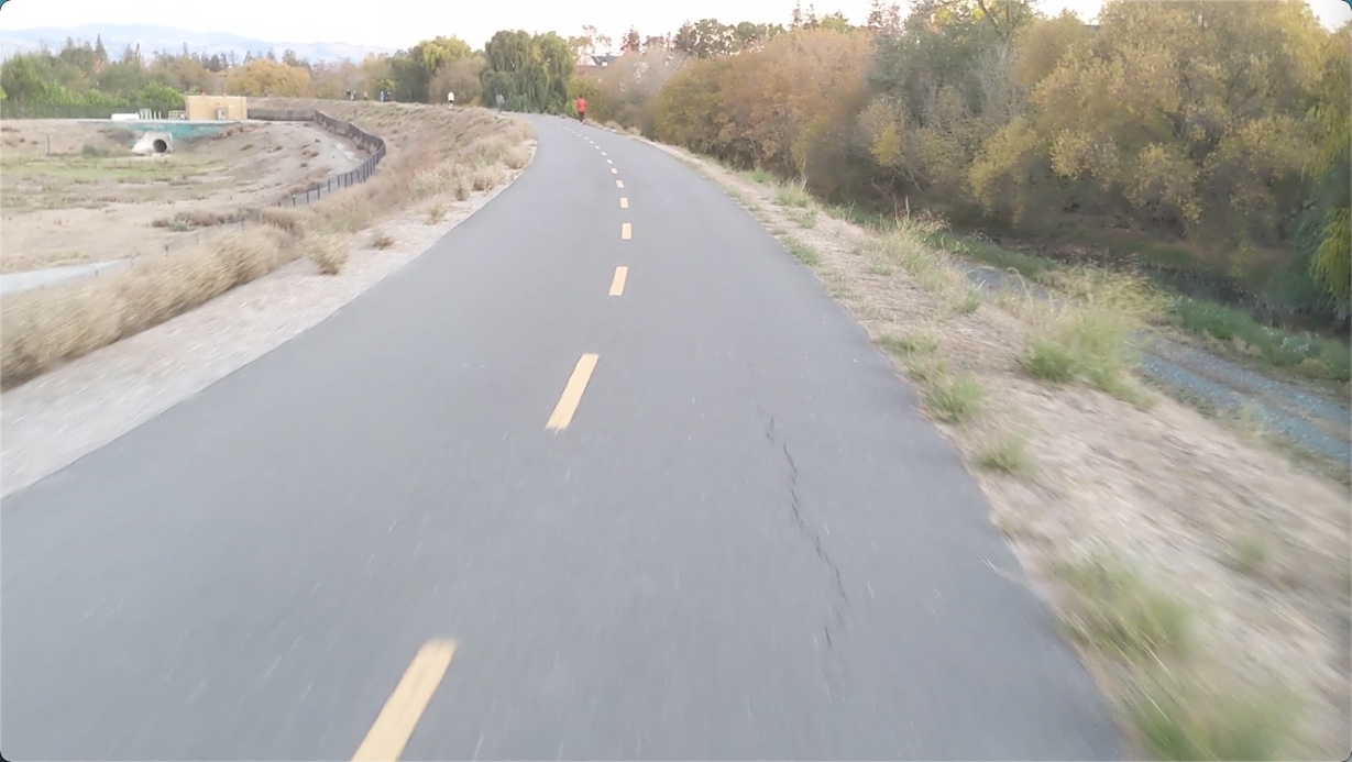
Pictures
Here’s a short and a few pictures of the ride.
Videos
Here are a few videos:
San Tomas Aquino Trail:
(I actually took the videos of the San Tomas Aquino trail last year, pre-covid, when I was thinking about making a biking-to-work type post.)
Guadalupe River Trail:
About Tom Johnson

I'm an API technical writer based in the Seattle area. On this blog, I write about topics related to technical writing and communication — such as software documentation, API documentation, AI, information architecture, content strategy, writing processes, plain language, tech comm careers, and more. Check out my API documentation course if you're looking for more info about documenting APIs. Or see my posts on AI and AI course section for more on the latest in AI and tech comm.
If you're a technical writer and want to keep on top of the latest trends in the tech comm, be sure to subscribe to email updates below. You can also learn more about me or contact me. Finally, note that the opinions I express on my blog are my own points of view, not that of my employer.